 Landscape of Culture
Johannes Point Project
The goal of the Johannes Point project was to better characterize settlement and economy during the early period of Inuit occupation of the northern Labrador coast as part of a larger exploration of the period of precontact expansion into northern Labrador that has been ongoing since 2003. We know of the character of pioneering Inuit settlement in northern Nunatsiavut in the fifteenth century from previous fieldwork at Nachvak Fiord, Green Island and elsewhere. As the key winter village in a region that experienced intensive Inuit occupation into the mid twentieth century, Johannes Point represents a 500-year long settlement period that saw significant economic and cultural shifts (like the change from bowhead whaling to sealing supplemented by fishing and trapping), information which is vital to our understanding of early Nunatsiavut history.
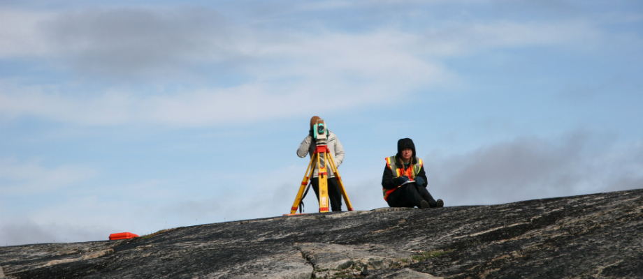
In the summer of 2016 a team from Memorial University and Nain conducted reconnaissance survey, mapping and test excavation at Johannes Point 1 (IbCq-1), located 6 km west of Hebron on the north side of Hebron Fiord in northern Nunatsiavut. Over a six-week period, an area of approximately 200 hectares (2 kilometres2) centred on IbCq-1 was inspected by teams of 2-6 field crew members. Features ranging in age from Predorset to twentieth century were represented by piles, clusters, rings and other deliberate arrangements of boulders and cobbles, sod depressions, and occasionally by associated artifacts (principally of chipped stone, ceramic, and iron). These were systematically documented with handheld GPS, handheld and UAV photography, measurements, sketches and brief written descriptions. A 5 m2 area was excavated in the exterior midden next to one of the earlier houses, and yielded a rich assemblage of slate, soapstone and nephrite artifacts that point to important technological and symbolic shifts in Inuit material culture across the contact horizon.
This research, and the resulting data, has allowed us to increase our knowledge and improve our documentation of archaeological sites in the Hebron Fiord area. The creation of digital and web-based maps in particular are an asset for the continued monitoring of the site as well as for educational tools and public outreach. The data collected has enhanced our understanding of Inuit settlement and economy during the fifteenth century period of settlement for this portion of northern Labrador. This in turn has allowed us to generate baseline data which can be used by Nunatsiavut and its beneficiaries to design an excavation project addressing the social contours of this early settlement period in the future. This research has also contributed to Memorial University graduate student theses’, including both Master’s and PhD thesis research projects, provided training to Nunatsiavut beneficiaries in archaeological field methods, and fostered community, visitor and student interest in one of northern Labrador’s most important and well-known heritage regions.
Check out the 2016 Johannes Point 1 field report in the Provincial Archaeology Office 2016 Annual Review for more details on this research.


